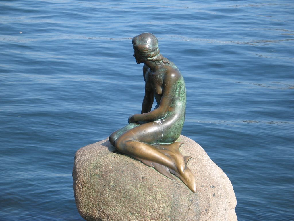
The little Mermaid, Copenhagen, Photo UFM
The little Mermaid, Copenhagen, Photo UFM
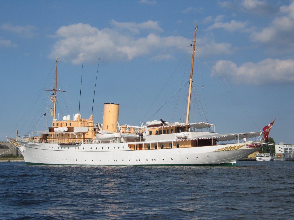
Ship belonging to the royal family, Copenhagen, Photo UFM
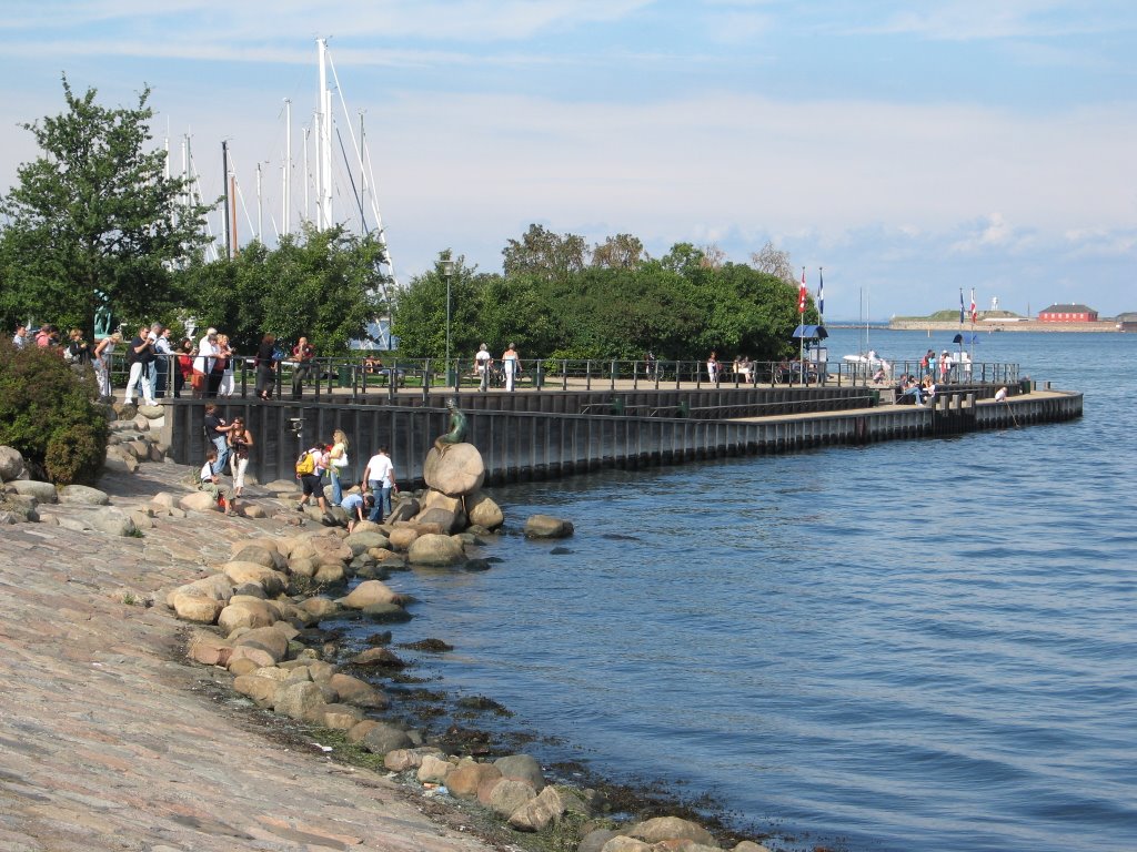
Copenhagen, Photo UFM
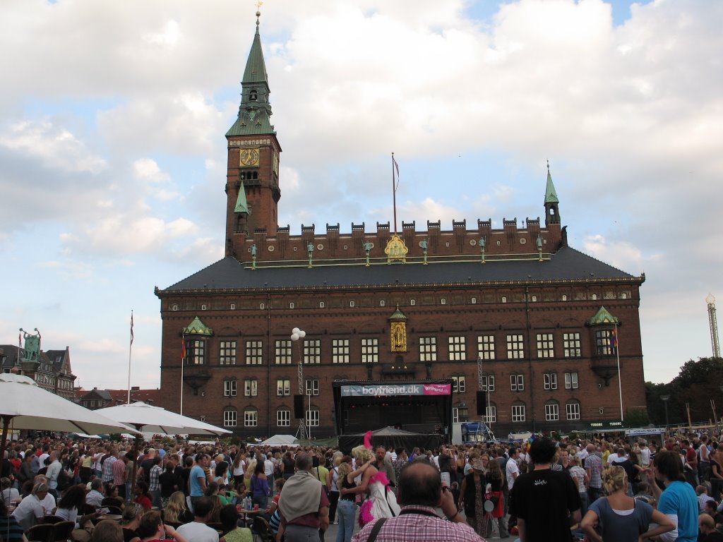
Copenhagen, Photo UFM
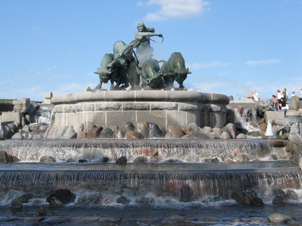
Gefion fountain in Copenhagen, Photo UFM
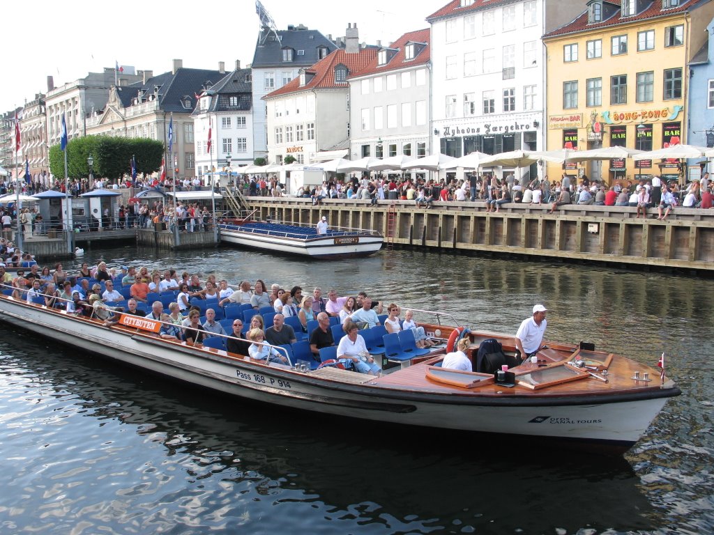
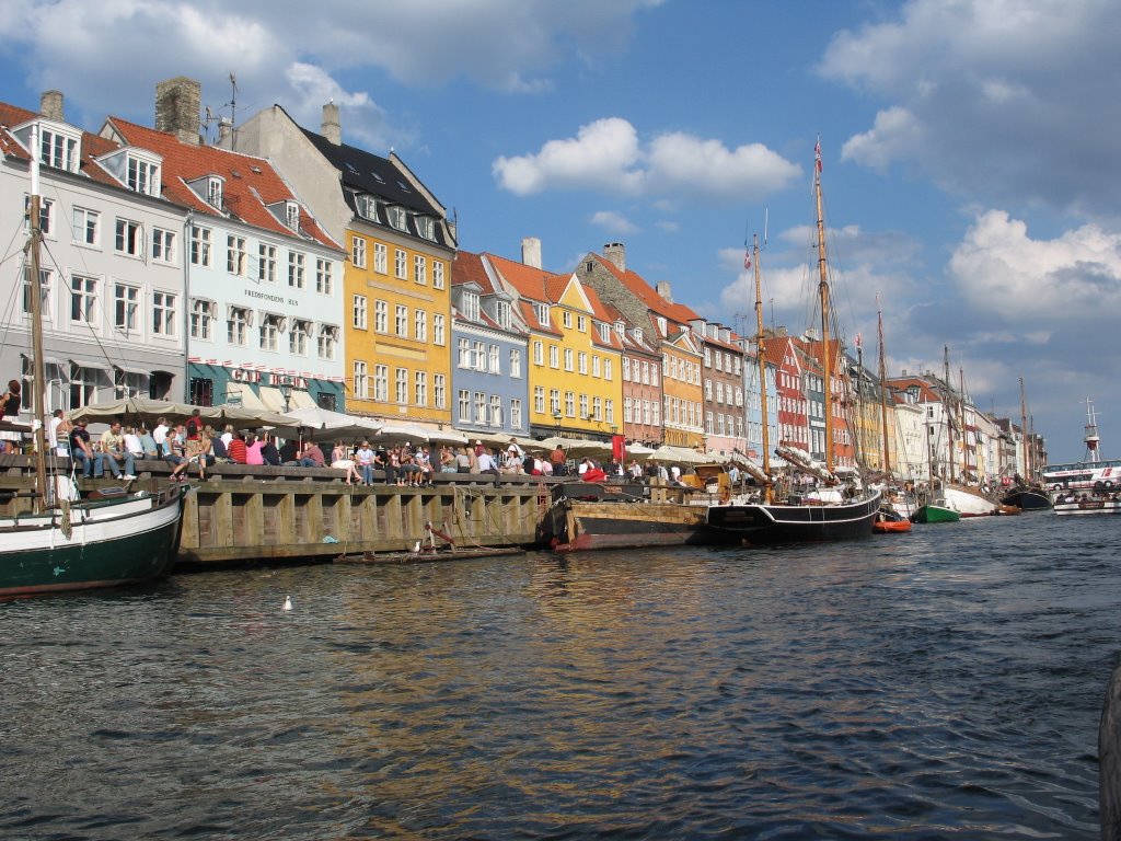
Copenhagen, Photo UFM

Copenhagen, Photo UFM
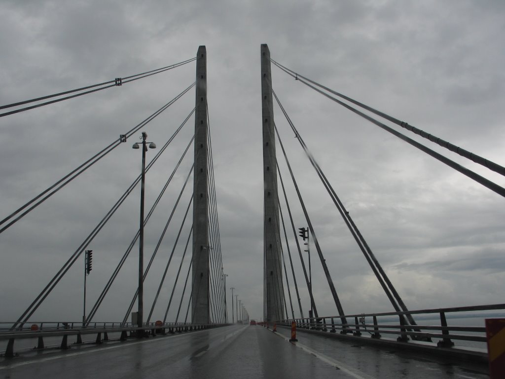
Bridge between Denmark and Sweeden, Photo AA


